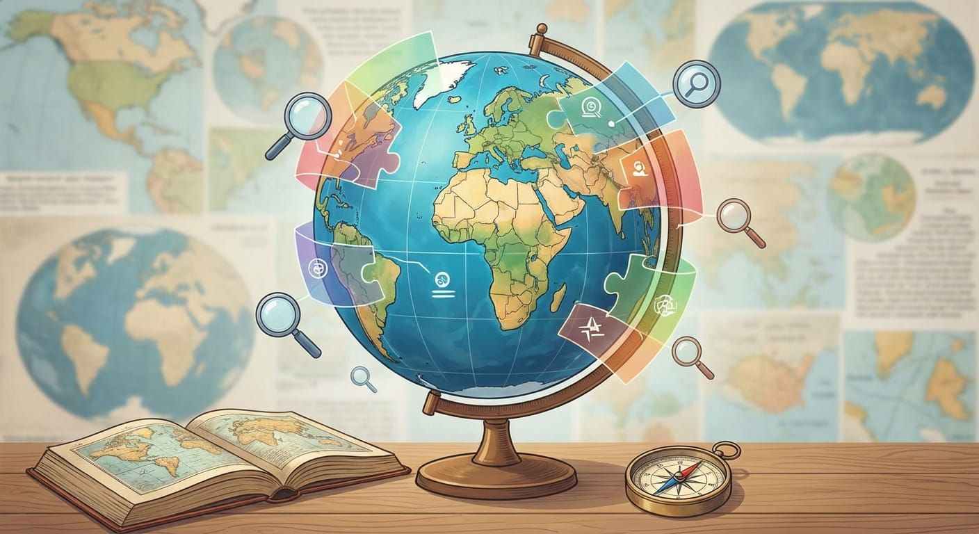
Maps are more than lines on paper. They are shortcuts for how we talk about people, place, culture, trade, travel, weather, and time. The tricky part is that the world can be grouped in dozens of different ways, and each method answers a different question. This guide explains the major global regions and the most common geographic classifications, plus how they connect to time zones and everyday use on Time.you.
Global regions are useful labels, not fixed laws of nature. You can group places by continents, subregions, culture, climate, politics, economics, or even by time zones. Each classification helps answer a different kind of question. When you browse locations on Time.you, these categories keep pages organized while still respecting real world complexity, from overseas territories to islands that share a country code but not a clock.
Test your geography grouping skills
What “global regions” really mean
A region is a way to group places that share something. That “something” might be location on the globe, shared environment, a political system, trade relationships, language, or a mix. Regions help you sort a huge world into usable chunks.
The key is purpose. If you are planning a flight, you may think in continents and oceans. If you are scheduling a call, you think in time zones. If you are comparing economies, you may think in income groups or development indexes.
If two people disagree about a region label, they may both be right, because they are answering different questions. Ask what the label is trying to do.
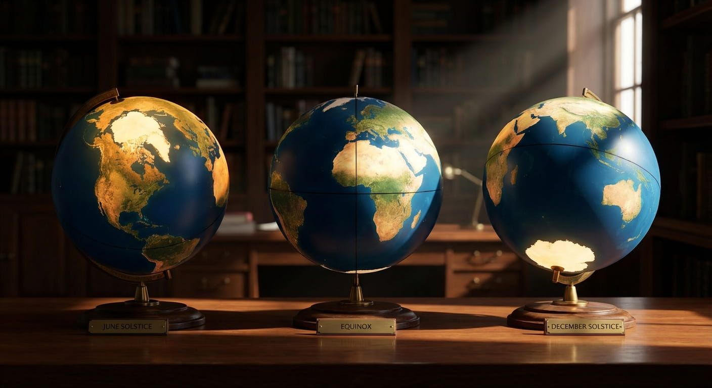
Continents, oceans, and the big picture map
Continents are the most familiar global grouping. They are taught early because they are easy to visualize. Yet even continents can be debated. Some models split Europe and Asia, some merge them into Eurasia, and the line between them is more cultural and historical than physical.
Oceans matter just as much. They shape climate, shipping routes, and connections between islands and coasts. For time and navigation, oceans also explain why some islands can be far from a mainland but still tied to it politically.
Common continent models you will see
- Seven continent model: Africa, Antarctica, Asia, Europe, North America, South America, Oceania
- Six continent model: often merges Europe and Asia, or merges North and South America
- Eurasia model: useful in history, geopolitics, and rail trade discussions
Subregions and directional labels that people actually use
Once you go beyond continents, subregions show up fast. These are labels like North Africa, Southeast Asia, the Caribbean, or Central Asia. They are usually based on proximity plus patterns of language, history, cuisine, or trade.
Directional terms are common and flexible. “Northern” can mean higher latitude, colder climate, or a cultural grouping. “Western” can mean west on a map, or it can mean a set of historical ties. Because these labels are flexible, they are best treated as hints rather than strict borders.
Why subregions stay useful
- They narrow a search without being too specific
- They help compare neighbors that share climate and supply chains
- They match how people talk in news, sports, and travel
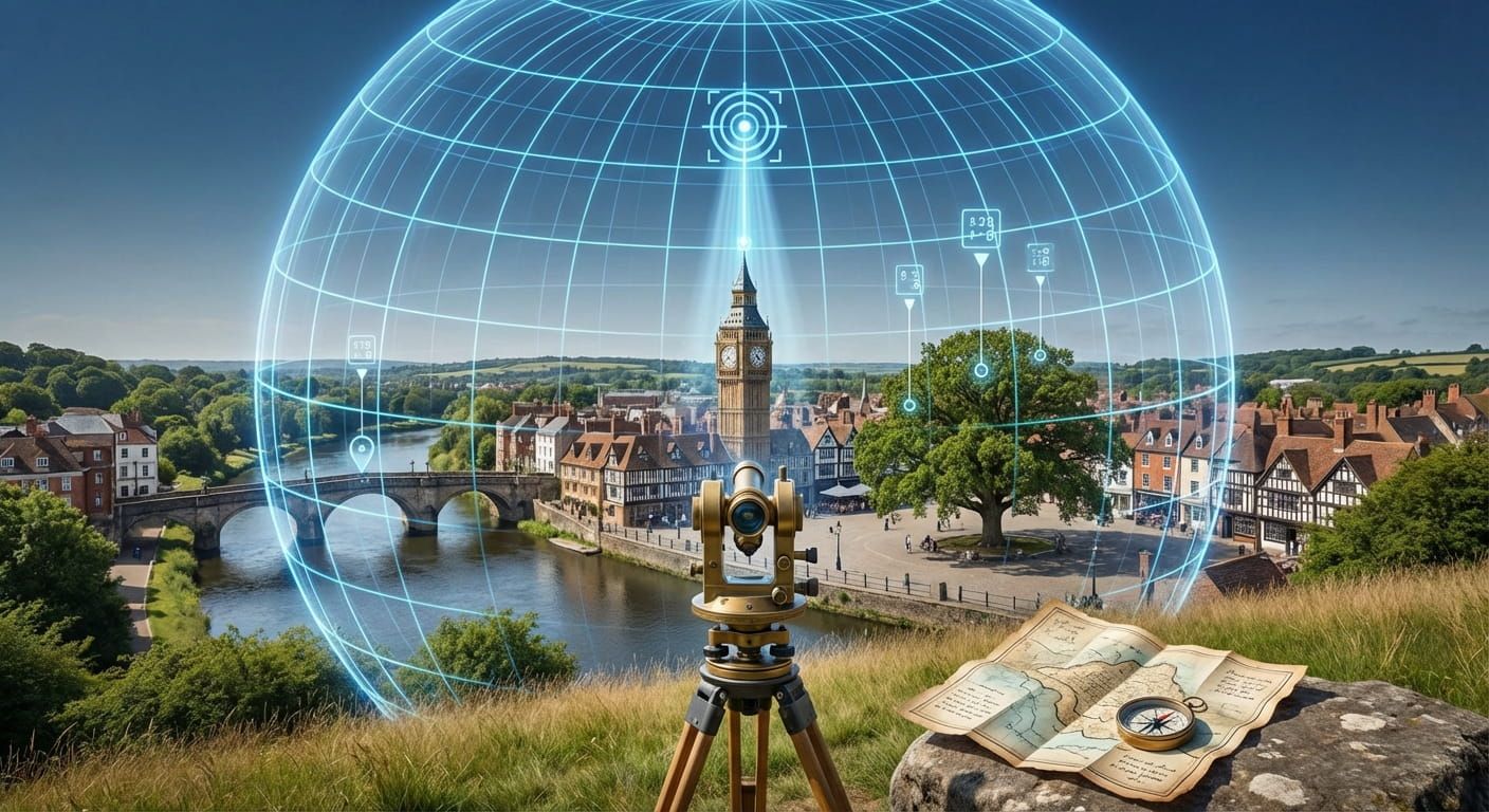
Political geography, countries, territories, and special cases
Country borders matter for laws, currencies, school calendars, and official time rules. But not every place fits neatly into the “one country, one area” idea. There are overseas territories, islands with a separate administration, disputed areas, and regions with special autonomy.
This is where geography meets lived reality. People may identify with a region even if it is not a sovereign state. Some areas appear under a parent country for many purposes but keep distinct time rules or daylight saving choices.
If you are browsing by country on Time.you, it helps to start with a country page and then move into cities when you need a local clock. For example, you can check time details for Japan when you want the national overview, then jump to a city page if you are coordinating with a specific place.
Time based geography, why clocks are a global classification
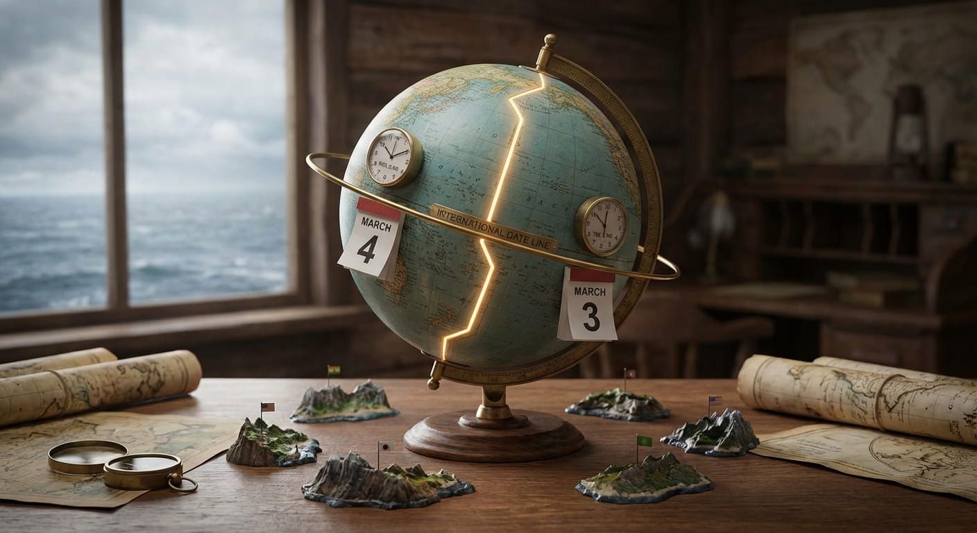
Time zones are a practical geography layer. They cut across continents, split countries, and sometimes bend around borders. They exist to keep local noon roughly aligned with the sun, while still supporting travel, work, and broadcasting.
Two places can be neighbors and still have different time rules. Two places can be far apart and still share the same time. That is why time zone browsing feels different from browsing by continent.
Time.you focuses on precise, synchronized time, which helps when you need the current time in a specific city. If you are working with teams in the Gulf, for instance, checking Abu Dhabi can be the fastest way to confirm local time before you hit send on a meeting invite.
Three reasons time zones do not match borders
- Large countries stretch far east to west, so one clock would be awkward
- Overseas territories may keep a different local time than the mainland
- Governments can choose time for trade, energy use, or alignment with neighbors
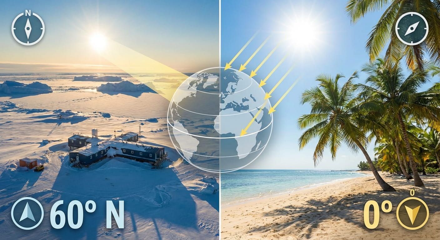
Physical geography, landforms, water, and latitude
Physical geography is about what the planet looks like without borders. Mountains, deserts, river basins, coastlines, plains, plateaus, and islands are all physical categories. These features shape settlement patterns and also influence climate.
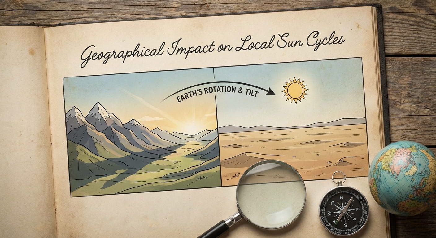
Latitude based zones are a classic classification: tropical, temperate, and polar. They are simple, but they help explain daylight patterns. If you have ever wondered why summer evenings feel long in the far north, latitude is the reason. It also explains why sunrise and sunset times vary even within a single time zone.
Physical categories that show up in everyday planning
- Coastal vs inland, useful for humidity and sea breezes
- Mountain regions, useful for travel time and seasonal snow
- River basins, useful for agriculture and flood planning
- Island groups, useful for ferry routes and storm exposure
Climate regions, how weather creates its own map
Climate zones group places by long term patterns of temperature and rainfall. This matters for farming seasons, energy use, and daily life. Climate regions also shape architecture and clothing traditions.
A climate map is not a political map. A desert can cross borders. A monsoon belt can cover multiple countries. That is why climate classification is great for understanding patterns, but not great for drawing ownership.
Cultural and linguistic regions, the human layer
Culture creates regions too. Language families, writing systems, religion, cuisine, music, and migration history all form patterns on the map. These regions are fuzzy by nature because culture blends and travels.
Cultural regions help with context. If you are reading news or planning a trip, these labels can set expectations around holidays, weekend days, and daily rhythms. That connects directly to timekeeping, because local schedules are shaped by local norms, not only by the clock.
Economic groupings, why geography can follow money
Economists use geographic groupings to compare markets and development. You will see labels like “high income”, “emerging market”, or “least developed”. These are not geographic in a strict sense, but they often cluster by region due to history and trade routes.
For a time service, economic groupings matter in a different way. They influence business hours, work week conventions, and the rhythm of public holidays. If you coordinate internationally, it helps to remember that “same time” does not mean “same schedule”.
How Time.you organizes location pages without losing nuance
A location hub works best when it mirrors how people search. Many visitors start broad, then narrow down. That is why the umbrella topic of geography and classifications matters. It supports browsing by country, then by city, then by local details.
A good hub also handles edge cases politely. Islands and territories need clear labeling. Cities with the same name need a clean way to distinguish them. Different scripts and spellings need consistent handling.
A simple browsing path that matches how people think
- Pick a broad area in your head, continent or subregion
- Choose the country that anchors your question
- Select the city when you need the local current time
- Double check daylight saving or special local rules if relevant
Geographic classifications you can use for real tasks
Some classifications feel academic until you need them. Here are practical ways people use them every day. This is also where time tools become a relief, because you can stop guessing.
Regional classifications
This table is a handy cheat sheet. It shows what each classification is best at, what it tends to miss, and a simple example question it can answer.
How to handle tricky geography labels without getting stuck
Some names cause confusion because they can refer to more than one thing. “Congo” can mean different entities depending on context. “Guinea” appears in multiple country names. Some islands have their own identity but sit under a larger umbrella.
The calm way through is to match the label to your task. If your task is time, use a city page. If your task is a rule, use a country page. If your task is broader context, use a subregion label and then narrow down.
One paragraph with bullets to keep it simple
When a place name feels confusing, try this:
- Check whether you mean a country, a city, or a wider region
- Look for nearby context, bordering countries, language, or coastline
- Use the local time as a confirmation signal, because it is hard to fake
Examples that connect geography groups to real locations
Here are a few concrete examples of how these ideas show up in practice.
If you are comparing time across North America, you can start with a city page like Atlanta, then contrast it with a west coast city. Even inside one country, time rules can vary in small ways.
If you are tracking regional patterns in Europe, viewing a country overview like France gives you a stable anchor. From there, you can move into cities when you need precision.
If your focus is Southeast Asia and cross border coordination, a country entry like Singapore is a clean starting point, because it is small, but highly connected. It also makes a great reference clock for the region.
A simple mental model for geography on the internet
Online, geography has two jobs. It organizes information. It also helps people trust what they see. A location page feels reliable when it matches how a person thinks about the place.
That is why a city and country hub works best with multiple paths: continents for broad browsing, countries for rules and identity, and cities for exact time. This structure makes room for real world complexity without making the site feel messy.
How Time.you supports location based browsing at scale
A time service lives at the intersection of geography and precision. You want the map, and you want the exact second. Time.you is built around synchronized time, so when you check a location you are not seeing an estimate, you are seeing a stable reference.
That matters most when seconds count, like coordinating remote interviews, tracking live events, or timing a launch. It also matters in small ways, like reducing the awkward back and forth of “what time is that for you?”
If you want a broad, region oriented entry point to how Time.you treats global clock standards, the hosted guide at global time reference is a natural companion to this pillar.
Practical tips for building your own region filters
If you are creating programmatic pages, region filters should feel intuitive. The goal is not to invent new labels. The goal is to match the labels people already use, then help them narrow down.
Tips that keep filters friendly
- Let users choose a broad region first, then country, then city
- Keep time zones visible for scheduling tasks
- Support alternative spellings and diacritics without forcing the user to guess
- Handle territories and islands with clear parent labels, but respect their distinct time
- Show local time immediately, because that is the fastest confirmation
A closing note that ties the map to the clock
Geographic classifications are tools, not trophies. Pick the one that matches what you are trying to do. If you want context, use regions and subregions. If you want rules, follow country borders. If you want precision, follow the clock. With Time.you, that last step is simple, because every location page turns a complicated world into a clear, trustworthy time you can use.