A border can be a river you can see, a line you only feel on a map, or a treaty signature from centuries ago that still shapes everyday life. Time works the same way. It feels natural, but it is also chosen, negotiated, enforced, and sometimes argued about. This guide connects the dots between national boundaries and national time, and shows how both shape where you are and what time.you displays on every city and country page.
Nations set borders through geography, history, law, and power, then keep them stable using maps, surveys, and treaties. Nations set time through shared standards, global coordination, and domestic decisions about time zones and daylight shifts. Both borders and time are tools for trade, safety, identity, and administration. That is why the same place can have clear borders but disputed status, and why nearby places can share a longitude yet show different clock times.
Test your border and time instincts
Pick an answer for each. Tap Check score to see the explanations. Nothing gets saved. It is just for fun, and it helps the ideas stick.
Borders are stories with paperwork
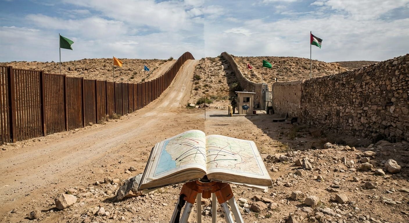
A national boundary is not only a line. It is a claim backed by institutions. When a boundary holds, it shapes citizenship, taxes, school systems, laws, and even what side of the road you drive on. When it is disputed, it can shape identity just as strongly, because people are forced to answer a daily question, which rules apply here.
The tricky part is that boundaries come from many sources at once. Physical geography matters, but it is rarely enough. Rivers move. Coasts shift. Deserts do not come with signposts. In the end, a boundary becomes official when it is written into agreements, recognized through practice, and recorded in mapping systems that governments trust. That is why two countries can share a mountain range, yet disagree about the exact ridge that marks the line.
The main ways countries draw boundary lines
Most boundaries are built from a mix of logic and compromise. Even when a line looks natural, someone still decided which side belongs to whom, and how to handle the messy parts. Here are the common building blocks you will see across the world.
Physical features that feel obvious
Rivers, lakes, coastlines, and mountain ranges often become boundaries because they are visible. A river boundary might follow the middle of the channel, or it might follow the deepest navigable route, which is called the thalweg in many legal traditions. That choice matters when rivers shift over time. Mountains can be even harder. A map might show one ridge, while locals travel through passes that feel like the real dividing line.
Lines based on measurement
Some borders follow lines of latitude and longitude, or straight segments drawn between surveyed points. These can look clean, but they can also cut across communities, grazing land, and language groups. The clean look is a map convenience, not a guarantee of fairness.
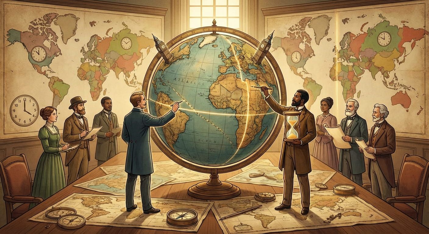
Historical agreements and colonial legacies
Many modern borders trace back to older empires, colonial administrations, and post war settlements. A boundary can survive because changing it would create more conflict than it solves. It can also be renegotiated in peaceful ways through treaties, land swaps, shared management zones, and arbitration.
Legal recognition and day to day control
A boundary becomes meaningful when it is enforced, even softly. Border posts, customs procedures, policing, and public services all reinforce where the state believes its territory begins and ends. International recognition adds another layer, because borders are also about how other states treat the line.
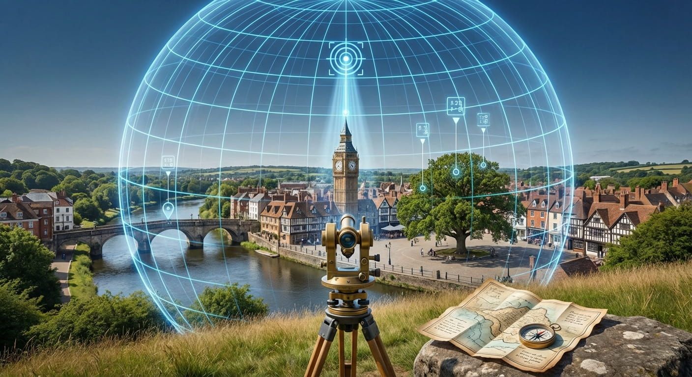
How borders get measured on the ground
Maps do not maintain themselves. Governments use surveying to turn legal text into coordinates. Survey teams place markers, record reference points, and maintain boundary monuments. Modern systems add satellite positioning, aerial imagery, and shared databases that can be updated when new measurements improve accuracy.
This is where things get practical. A treaty might say, follow the river. Surveyors then must decide what that means in a bend, at an island, or in a seasonal floodplain. A treaty might say, follow the watershed. Surveyors then must locate the exact divide where water flows to different basins. Every choice becomes part of how people live, travel, and work.
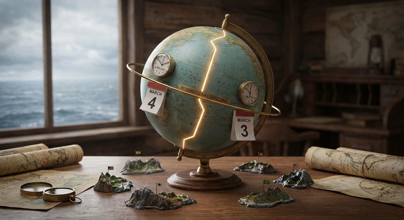
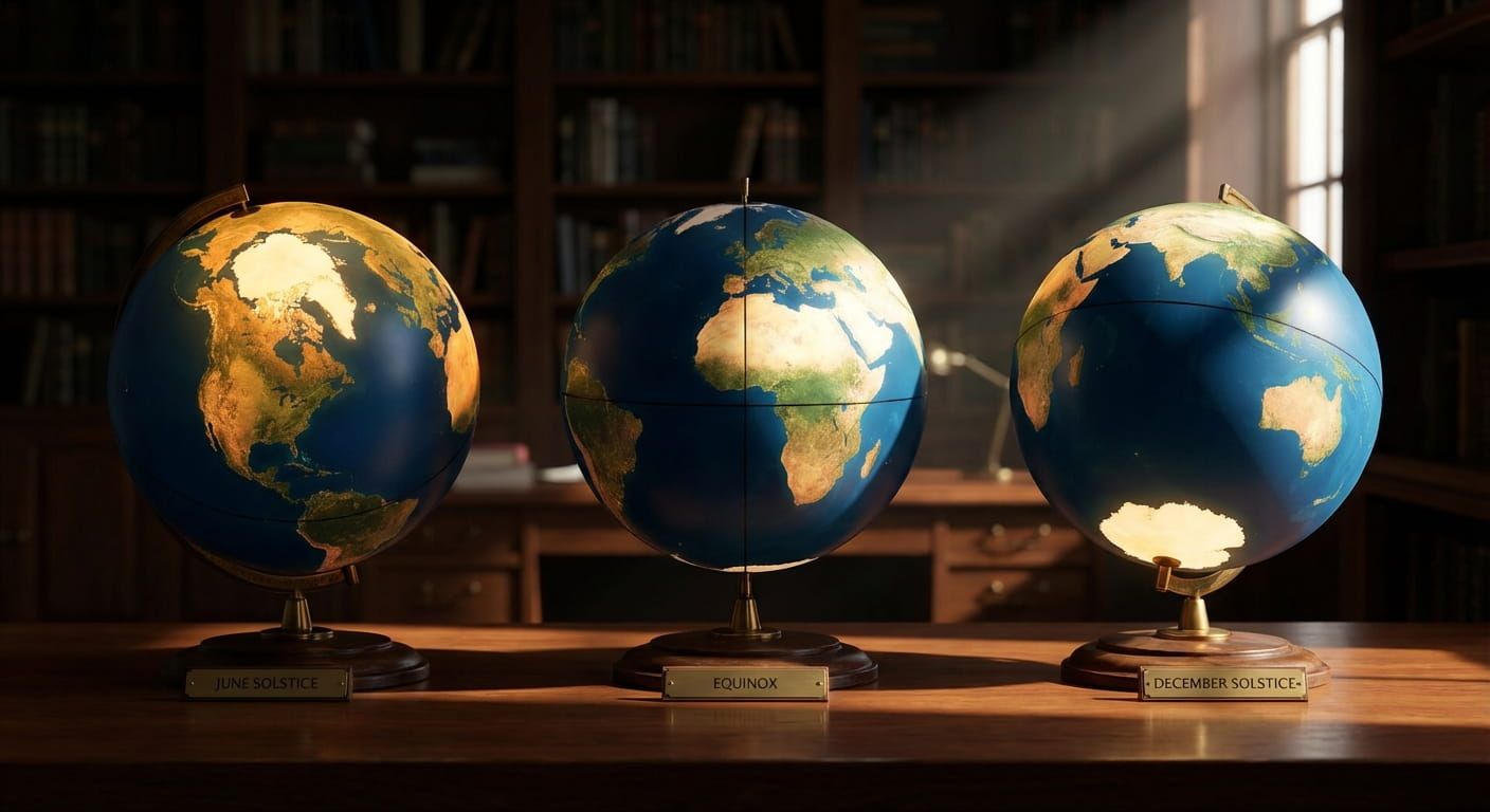
National time is also a boundary, just not on a map
Time feels like a fact of nature, but official time is a decision. Countries choose their standard time zone, sometimes choose daylight changes, and decide how to label their time relative to UTC. All of this lets schools start at a reasonable hour, helps workers commute in daylight, and keeps business aligned with neighbors and trade partners.
This is where time.you comes in. When you check the exact time for a place, you are seeing a live translation from a global reference to a local decision. The reference is based on atomic clock timekeeping, then expressed through the rules that define the local time zone. It is the same idea whether you are checking Singapore or a city on the other side of the planet.
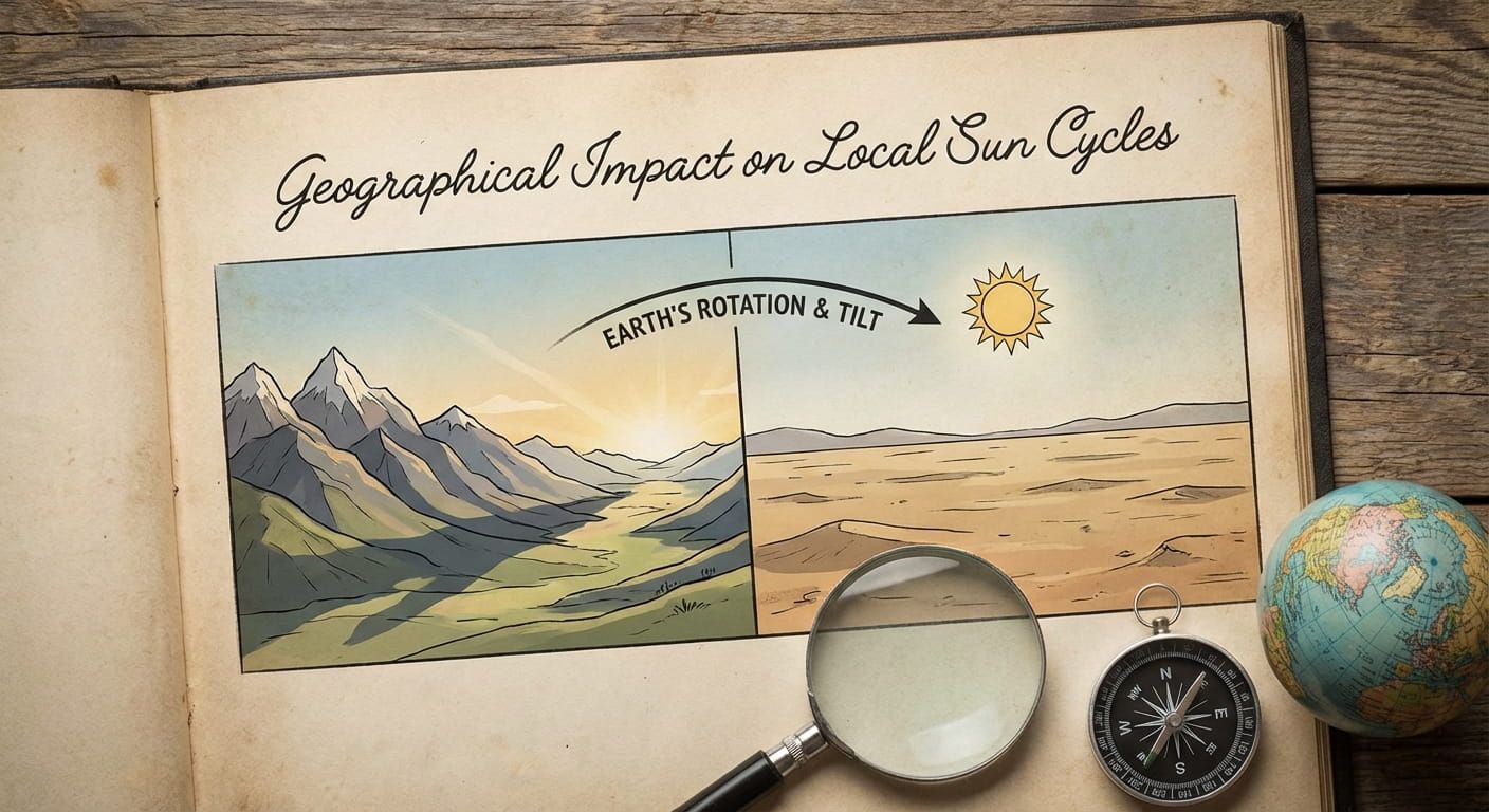
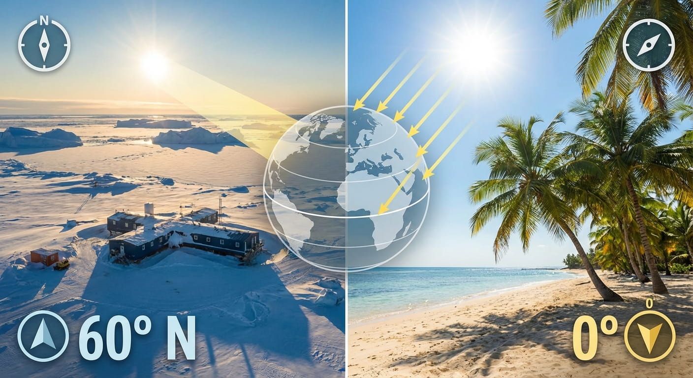
From sun position to atomic clocks
Local solar time starts with the sun. Noon was once when the sun stood highest in the sky. That worked for villages, but it fell apart once trains and telegraphs connected distant places. Imagine a rail timetable where every town uses its own noon. It turns scheduling into chaos.
Standard time zones solved that coordination problem by grouping regions into shared clock rules. Later, atomic clocks improved precision by measuring time through stable physical processes rather than the imperfect swing of a pendulum or the irregularities of Earth’s rotation. Modern timekeeping uses a global reference that supports everything from navigation to secure networks. Your phone, your flight departure board, and time.you all benefit from that shared backbone.
Why time zones do not follow neat vertical lines
If time zones followed pure longitude, each zone would be a tidy band. Real life disagrees. A country might span multiple longitudes, yet choose one national time for unity. Another might split into multiple zones to match sunrise patterns. Some regions keep the same time as a major trading partner to make cross border business easier. Some prefer a time that fits prime working hours and school schedules.
Islands complicate things too. A nation might hold distant territories far from its mainland. That creates far flung local times under one flag, even if the national government sets a single official time for paperwork. This is why browsing by place matters. A global view helps, but details live at the location level.
The hidden link between borders and time rules
Borders and time share three deep similarities.
- Both are administrative tools. They help governments run services and enforce rules.
- Both rely on shared standards. Borders rely on mapping conventions and legal recognition. Time relies on shared references and agreed offsets.
- Both can be contested. Disputes happen when identity, security, or resources are at stake.
That shared logic explains a common experience: you can cross a land border and instantly face a new legal system and a new clock. It also explains why special zones exist, like border towns that align their business hours with a neighbor, or regions that keep a different time to fit local needs.
A clear way to think about global locations
Location browsing gets easier when you know how places are grouped. Continents are familiar, but many systems also use regions, subregions, and special territorial categories. That structure helps build consistent pages for countries and cities, and it helps people search in human ways. You can see how these groupings work in global regions and geographic classifications, then jump into any specific country or city from there.
A practical checklist for how nations set boundaries and time
Here is a simple sequence that matches what usually happens, even if the details differ from place to place.
- A claim forms. It might come from settlement, conquest, purchase, inheritance, or independence.
- Negotiation happens. The line is discussed in treaties, commissions, or international forums.
- The line gets described. Text defines the boundary using landmarks, coordinates, or both.
- Surveying turns text into points. Markers, maps, and shared records bring it to life.
- Administration makes it real. Borders get managed, and services follow the line.
- Time rules get set. A government chooses one or more time zones, then defines offsets and daylight policies.
- Standards keep it consistent. Mapping systems and time references reduce confusion across borders.
- Updates happen. Treaties get revised, borders get clarified, and time rules can change with policy.
Borders and time choices
This table is a mental map. It shows common boundary types, how they are supported, and how time decisions often connect to them. The examples are general patterns, since every country has its own story.
| Boundary or time choice | What makes it stick | Common tradeoff | How it affects daily time |
|---|---|---|---|
| River boundary | Treaty wording, surveys, agreed channel rules | Rivers shift, islands appear, disputes can follow | Border crossings can create clock changes if neighbors use different offsets |
| Mountain ridge boundary | Watershed mapping, boundary monuments, arbitration | Hard to survey, passes complicate local access | Remote border regions may align time with trade routes rather than longitude |
| Coordinate line boundary | Clear coordinates, shared geodetic reference frames | Can cut across communities and ecosystems | Time zones may still bend to keep towns in one local schedule |
| Single national time | Domestic law, national coordination, broadcast schedules | Sunrise may feel early or late in far corners | Simplifies travel inside the country, but can surprise visitors near edges |
| Multiple time zones | Legal definitions, administrative boundaries, transport standards | Coordination across regions takes extra care | Better match to daylight, but cross zone meetings need clear scheduling |
Border and time surprises people often miss
These are the moments that catch travelers, students, and even locals off guard. Keep them in your pocket.
- A border can exist without fences. The legal line may be clear, even if the landscape feels open.
- A city can sit near a time zone edge. Two suburbs can share a shopping mall but show different times on the clock.
- Offsets are not always whole hours. Some places use half hour or quarter hour offsets.
- Time policy can change faster than borders. Governments can adjust clock rules with a legal update.
- Disputed territories create scheduling friction. People may use one time for business and another for public services.
How time.you fits into location based browsing
A City and Country hub works best when it treats location like people do, as a set of places connected by movement and meaning. A traveler thinks in cities, airports, borders, and time changes. A remote team thinks in meeting windows across offsets. A student thinks in regions and neighbors. A developer thinks in structured pages that can be browsed and also used programmatically.
That is why time.you uses location pages as a bridge between geography and timekeeping. Each place has a time zone rule set, and each rule set has a relationship to UTC. Once those rules are known, the current time becomes a precise, reproducible answer. It also becomes comparable across places, which is the core of global time reference.
It also helps explain why a place page is more than a clock. It is a compact guide to what a location means in the real world, a name, a region, a country context, and a time context. If you are browsing for a large country with many regions, checking United States gives a clear sense of how a single national identity can still hold multiple local clock realities.
Border disputes and time confusion, what to do as a reader
You do not need to be a cartographer or a diplomat to make sense of a messy map. The useful habit is to separate three questions.
- What is the claimed boundary? Look for the legal description and the mapped line.
- What is the administered boundary? Ask which services operate where, and which rules are enforced.
- What time rules are used in daily life? Check what local clocks follow for work, school, and transport.
This mindset is useful because real life is full of overlaps. A place can have one set of laws, another set of cultural ties, and a time habit shaped by trade routes. Once you expect that layering, scheduling and travel planning become calmer.
A friendly mental model for national time choices
Think of time policy as balancing three needs. Human comfort, economic alignment, and administrative simplicity. A country that favors comfort may set time to match daylight in most regions. A country that favors economic alignment may match neighbors to reduce friction in trade and travel. A country that favors simplicity may use one time to keep scheduling easy, even if sunrise feels odd in certain areas.
None of these choices are perfect. They are tradeoffs, and they can change with politics, energy usage patterns, and public opinion. That is one reason an accurate time service matters. It removes guesswork and gives you the precise local answer right now.
Where borders and time meet in real life
Airports, ports, and border towns are where you feel the connection most strongly. A passport stamp changes your legal status. A clock change affects your body and your schedule. In places with strong cross border commuting, shops and schools may adapt their hours, even if the official time stays the same. In regions with multiple languages and histories, you may hear people refer to time in a neighbor’s terms, because that is the time used for calls, markets, or sports broadcasts.
The more you travel or work globally, the more you notice that geography and time are not separate topics. They are two sides of the same question: where am I, and what rules shape life here.
The quiet craft behind a reliable global clock
A service that shows exact time worldwide needs two things to be trustworthy. A stable global reference, and correct local rules. The reference keeps the base time precise. The rules translate it into the local answer for each country and city. That translation must respect time zone boundaries, offset choices, and any seasonal changes where they exist.
The result is simple on the surface and powerful underneath. You pick a place, and you get a clear answer, right now. It also supports deeper browsing. You can move from region to country to city, and always keep your bearings, because the clock is consistent and grounded in a global reference.
Lines on maps and lines on clocks
National boundaries and national time are both human solutions to big coordination problems. Borders help societies decide where rules apply. Time standards help societies coordinate across distance. Both can feel invisible until you cross them, and then they shape everything from what law protects you to when your next train leaves.
The next time you browse a city or country on time.you, notice the two kinds of lines at play. The geographic line that places a community in a nation, and the time line that places that community in a daily rhythm. Once you see both, the world feels more readable, and planning becomes a lot easier.