You can fly for hours across the Pacific, cross an invisible line on the map, and suddenly your calendar flips. The sun does not change its schedule, but your date does. That strange boundary is the International Date Line, and it shapes daily life most sharply in remote territories where a single decision about “today” can affect school days, shipping, tourism, elections, and even which weekend you share with your neighbors.
The International Date Line is the practical partner to the prime meridian. It sits roughly near 180 degrees longitude, but bends around islands and borders so communities can share a work week with their main partners. Remote territories feel its effects the most, because a short boat ride can separate “today” from “tomorrow.” Time.you helps you verify the exact local date and time before you travel, schedule, or publish.
A short date line quiz
Answer these for fun, then check yourself. This quiz runs only on this page and does not send data anywhere.
What the International Date Line really is
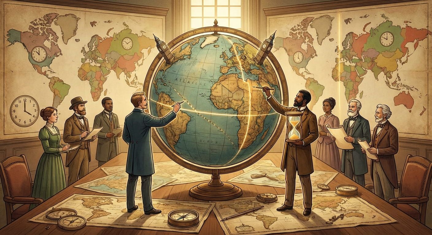
The International Date Line is a convention, not a wall. It is the place where the calendar date changes by one day. Most maps draw it near 180 degrees longitude, opposite the prime meridian in Greenwich. If Earth is divided into time zones, there also needs to be a sensible place where the count of days resets. Otherwise you could travel west forever and keep adding hours without ever agreeing on a new date.
The basic idea is simple. Cross the line one way, you add a day. Cross it the other way, you subtract a day. The clock time might be similar on both sides, but the date label is different. That is why this line matters to anyone booking flights, shipping goods, running remote teams, or trying to watch a live stream at the right moment.
Human reality: the line exists so people can share a calendar that matches their relationships. Remote communities depend on supply routes, school calendars, and government services. A date mismatch can be a real cost, not a fun trivia fact.
Why the line bends instead of staying straight
If the line followed a perfect geometric path, it would slice through island chains and even split communities that trade with each other daily. That would create constant problems. Imagine a fishing fleet landing catches in a nearby port that lives in “tomorrow.” Paperwork, banking cutoffs, and school days would never line up.
So the line zigzags. It wraps around groups of islands so that neighbors who depend on each other can share the same date. It also shifts around national borders where governments have decided that the economic and social benefits of alignment outweigh the neatness of pure geometry. This is where political geography and timekeeping meet. If you enjoy that intersection, how nations set boundaries time is a helpful companion piece.
The result is a line that is mostly in open water, with careful bends around places where the calendar choice shapes daily life.
Remote territories where the date line feels personal
Big cities usually treat the date line as a curiosity. Remote territories treat it as a neighbor. Some are on the eastern side, some on the western side, and a few sit close enough that a short hop can change the calendar. These places often have small populations, limited flights, and supply chains that must be planned carefully. A one day difference changes which shipping day is “next,” which weekend you share with a distant capital, and when government offices open.
Kiribati and the “earliest” time zones
Kiribati is famous in timekeeping conversations because parts of the country sit far to the east, close to the classic 180 degree line. The government chose to keep the country on a unified calendar, which effectively places some islands on the western side of the date line for practical reasons. That decision helps internal administration and makes life simpler for residents moving between islands.
If you are planning a trip, a school exchange, or even a phone call with friends there, it helps to start from a verified local clock and calendar. Time.you makes this easy for location pages like Kiribati.
American Samoa and “one day behind” stories
American Samoa sits on the opposite side relative to some Pacific neighbors. It is one of the places people point to when they talk about being “a day behind.” That phrase can be misleading, because it depends on what you compare it to. The real point is that nearby islands can share similar daylight patterns but operate on different calendar days.
That difference shapes business hours and family calls, especially for people with relatives in places that are across the line. It is also a common travel gotcha. You leave a place on Sunday, land somewhere “still Saturday,” and suddenly your hotel booking feels wrong. A quick check of American Samoa before you confirm a plan can save a lot of confusion.
New Zealand, nearby islands, and regional coordination
New Zealand is not “on” the date line, but its region sits near the area where the line bends. Flights and shipping across the South Pacific often involve places with different dates even when the travel time is not long. That can affect connecting flights, cruise itineraries, and remote work schedules.
For a regional view, it helps to think in terms of clusters. The Pacific is a patchwork of island groups with different historical ties, trade routes, and administrative needs. If you want context for that kind of grouping, global regions geographic classifications fits nicely here, because time zones are often easier to understand when you think in regions instead of single points on a map.
For a country specific starting point, New Zealand is a handy reference.
How to think about crossings without getting lost
Most confusion comes from mixing two ideas, clock time and calendar date. It helps to separate them in your mind.
- Clock time is the hour and minute on the wall clock.
- Calendar date is the day label, like Monday or 12 March.
- UTC offset is the difference from Coordinated Universal Time, useful but not the full story near the date line.
- Local rules can shift time zones for economic alignment, not just geography.
Remote territories are where these distinctions matter most, because travel is often planned in chunks. A once weekly supply boat, a monthly flight, a seasonal ferry. If your date is off by one, you can miss the only connection.
Practical rule: for any plan that crosses the Pacific, confirm the local date as carefully as the local time. A meeting at 09:00 can be correct and still be on the wrong day.
A location focused checklist you can use every time
This is a simple routine that works for travelers, teachers planning exchanges, shipping coordinators, and remote teams. It reads long on purpose, because the date line punishes assumptions.
- Pick the exact place, not just the country. Remote territories can share a flag but not a time zone.
- Confirm the local time and local date right now, then again on the day you schedule. Rules can change.
- Write the weekday in the invite. “Tuesday” catches mistakes faster than a numeric date alone.
- Add UTC as a backup reference for calls, broadcasts, and online events.
- For travel, check the arrival date on the ticket and compare it to the local calendar at your destination.
- For shipping, confirm local business days and cutoff times for ports and customs.
- Share a single source of truth with everyone involved, so people stop guessing.
If you maintain city and country pages, this checklist pairs well with the idea that geography shapes timekeeping. Time.you leans into that by organizing browsing through city, country, and time zone hubs. That umbrella approach is the backbone of the “Geography and Locations” pillar, because it helps people move from a map to a reliable clock without mental gymnastics.
Date line scenarios in real life
The table below focuses on situations that show up again and again for remote territories and long distance scheduling. It is not a legal guide, it is a practical map of typical surprises.
| Scenario | What people assume | What actually happens | Best move |
|---|---|---|---|
| Island hop across the line | The date stays the same because the flight is short | The calendar flips by one day even if the clock looks similar | Confirm local date at destination, write the weekday in plans |
| Remote work call between Pacific islands | A 10:00 call is a 10:00 call everywhere | 10:00 can be on different days for each side | Use a shared reference, include date, weekday, and UTC |
| Shipping and customs deadlines | Deadlines align because it is “the same week” | A one day mismatch can shift a cutoff into the next business cycle | Confirm business days locally and plan buffer time |
| Content publishing and live events | Posting at midnight means the same moment worldwide | Midnight is a moving target and date labels differ | Schedule in UTC, show local conversions for key audiences |
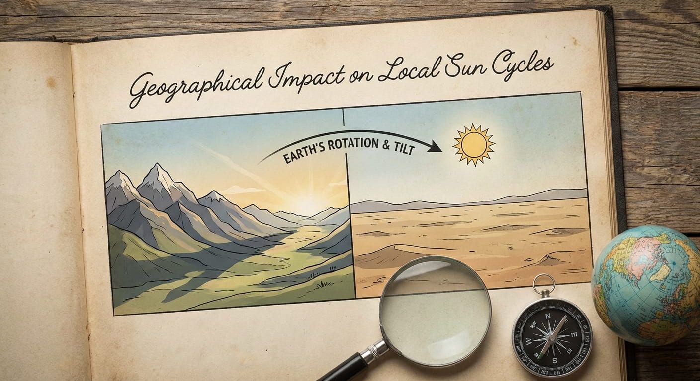
How the date line connects to sunrise, sunset, and local rhythm
People often think the date line must line up with the “end” of a day in nature. It does not. Nature follows the sun. Time zones follow social agreement. A place can have an early sunrise and still share a calendar with far away partners because that alignment keeps the week consistent for work and school.
This is also why remote territories can feel a stronger mismatch between “what the sky says” and “what the calendar says.” It is not wrong, it is a choice. If you want a deeper look at how the sun shapes daily patterns across locations, geographical impact local sun cycles pairs nicely with the date line conversation.
Border choices, territories, and who decides what day it is
The date line bends because humans bend it. National governments and territorial administrations choose time policies based on trade, travel, and governance. In practice, timekeeping becomes part of political geography, the same way borders and jurisdictions become part of the map you navigate. For a broader view of how borders and governance shape daily life, political geography national borders adds helpful context.
Remote territories often sit at the edge of administrative reach. That makes consistency valuable. A shared calendar with the capital can make public services easier. A shared calendar with the nearest major market can reduce friction for business. Sometimes those goals align, sometimes they compete. The date line sits right at that tension.
Time.you and the value of a trusted global reference
When you are dealing with remote places, precision is kindness. It prevents missed calls, missed ferries, and missed celebrations. Time.you positions itself as an atomic clock synchronized service, so the “now” you see is meant to be dependable across cities, countries, and time zones. That matters when your plan crosses the Pacific, or when you are coordinating with islands that live close to the date line.
The core job is simple, show the exact current time and date for the place you care about. The impact is large, because it turns a confusing concept into a quick check before you commit to a decision. If you want a broad jumping off point for that kind of browsing, the hub page for global time reference supports location based exploration without forcing you to guess.
Scmall mistakes the date line loves to punish
These are the everyday slip ups that show up in remote territory planning. They look harmless until they cost you a day.
- Booking hotels by numeric date only, without checking the local weekday.
- Scheduling a call “tomorrow” without naming the day and date for both sides.
- Assuming two nearby islands share the same calendar because the flight is short.
- Relying on UTC offset alone, without verifying the local date label.
- Forgetting that shipping cutoff times follow local business days, not your calendar.
- Publishing a live event time as “midnight” without clarifying the location.
- Thinking a map line must be straight, then being surprised by a bend.
Remote travel planning that respects the calendar
Remote territories often involve multi step travel. A long haul flight, then a regional connection, then a boat, then a short drive. Each step can land in a place with different expectations about what day it is. That is why date line awareness matters even if you do not cross it directly. You might connect through a place that sits on a different side than your origin.
A simple habit helps. Treat the destination’s local date as part of the destination itself, the way you treat its currency or language. You would not assume cash works the same everywhere, and you should not assume a calendar day does either.
Try this: before you press “confirm,” say the plan out loud with the weekday. “Arrive Friday morning local time.” If it sounds odd, check again. Odd sounding plans are often the correct ones near the date line.
When islands share the ocean but not the day
One of the most fascinating things about the date line is how it makes “neighborhood” a flexible idea. In the Pacific, two places can be close enough to share weather patterns and sea conditions, but still operate on different dates. That difference shapes communication. A school might be in session on one side while the other is enjoying a weekend. A business might be closed “today” across the water. A family call might land on a different celebration day.
This is also why location based browsing is useful. A global list of time zones is not always enough. People want the place itself, the city or the territory, and the live answer right now. That is the heart of a city and country hub approach.
How to explain the date line to kids without causing chaos
Teens and younger kids usually understand the clock shift idea quickly, but the calendar flip feels unfair. A gentle explanation helps.
You can say: Earth is a big circle, so people agreed on a line where we change the date, because we need a shared calendar. The line is placed mostly in the ocean, and it bends around islands so communities can share the same school week. Then you can use a simple mental picture: if you walk around the world keeping track of sunrise and sunset, you will eventually be one day off compared with someone who stayed home, so the date line is where we fix that.
Choosing a dependable source before you publish or schedule
Many scheduling mistakes come from mixing sources. One person checks a phone clock that is set to a nearby city. Another checks a map that labels a different time zone. A third assumes their calendar app converted correctly. Remote territories often have fewer mainstream references, so small gaps in data can slip in.
A single reference helps. Make it a habit to verify both the time and the date on the location page you are actually talking about. That is one reason the “Geography and Locations” umbrella matters for programmatic pages. It supports browsing by place, not just by abstract offset.
Where the map and the calendar shake hands
The International Date Line is one of those rare ideas that is both technical and deeply human. It is a line born from geometry, shaped by politics, and felt most strongly by communities far from major hubs. Remote territories teach the lesson best. Time is not only numbers, it is coordination, family, commerce, and daily routine.
The next time you plan something across the Pacific, treat the date as a first class detail. Check the local calendar with the same care as the local clock. That one habit turns the date line from a trap into a tool.