Lines on a map look clean until you live near one. Borders shape who votes, who pays taxes, which phone network you connect to, what laws apply, and even what time your devices should display. Political geography is the study of those choices, and the everyday outcomes they create. It sits right where human stories meet physical space, and it explains why two places that are neighbors can feel worlds apart.
Political geography explains how borders are created, managed, and felt. National borders are not only physical lines, they are legal switches that change rules, identity, security, trade, and travel. Because time zones and daylight saving rules are set by governments, borders often act like time boundaries too. When you browse places on Time.you, political geography helps you understand what changes at a border and why local time can shift with policy, not just longitude.
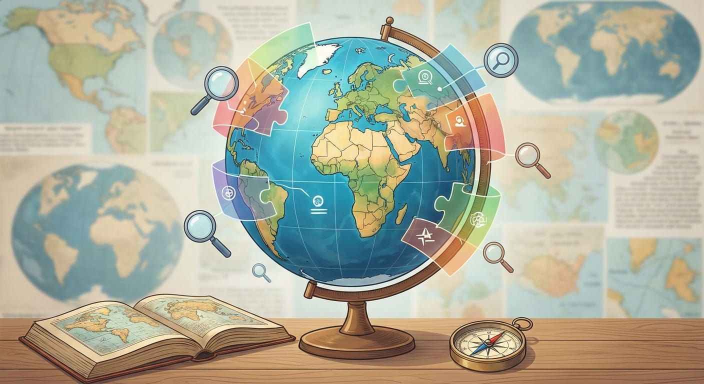
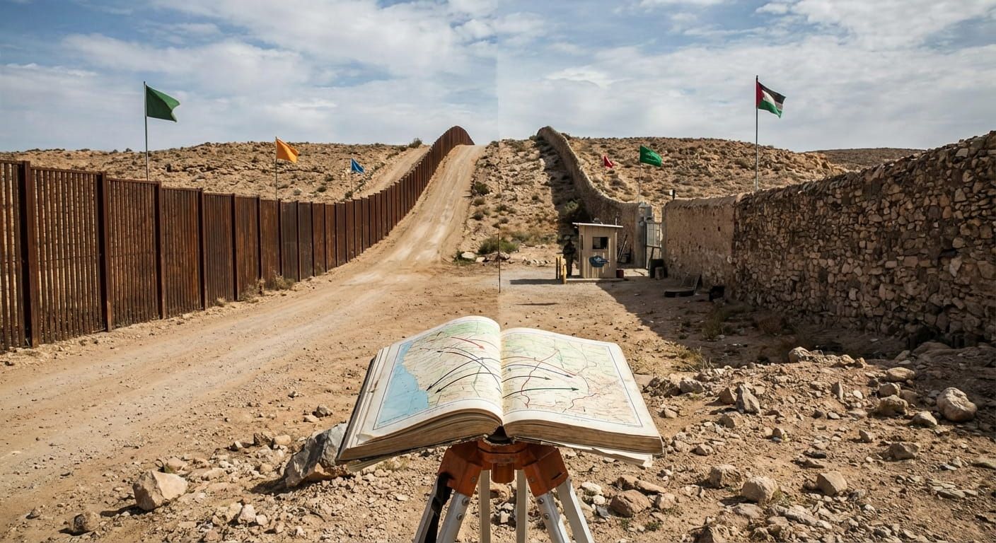
Test Your Border Smarts
What Political Geography Really Studies
Political geography looks at power on the ground. It asks how territory is organized, who controls it, and how that control is kept. The topic includes countries, regions, cities, and smaller divisions like provinces and districts. It also includes places where control is shared, disputed, or changing.
It is not only about governments. People matter. Language groups, faith communities, trade networks, and migration patterns can shape political space. A border might separate two states, but it also divides school systems, healthcare rules, and what your passport can do.
A practical way to think about it
Every place has at least three layers, the land, the people living on it, and the rules applied to it. Political geography studies how those layers line up, and what happens when they do not.
National Borders As Legal Switches
A national border is often described as a line. In daily life, it behaves more like a switch. Cross it, and a bundle of systems can change at once. Currency, driving rules, taxes, consumer protections, labor law, and privacy standards can all flip.
Many borders are quiet. They are marked by signs, fences, or sometimes nothing at all. Others are intense points of control with checkpoints, permits, and inspections. The degree of control depends on politics, security concerns, trade agreements, and how much movement a country wants to manage.
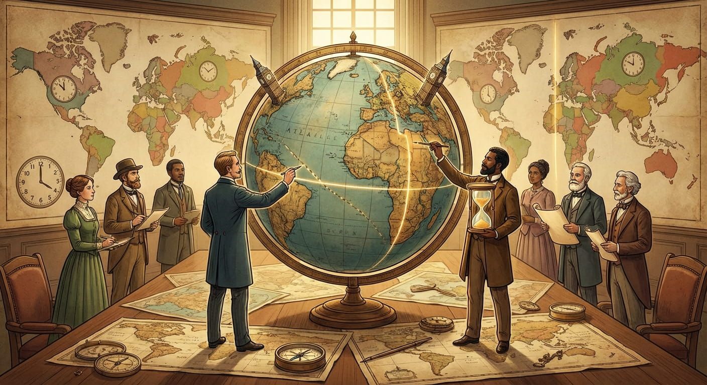
How Borders Get Drawn
Some borders follow nature. Mountains can be hard to cross, rivers can be clear reference points, deserts can limit movement. Those features can make a boundary easier to defend and easier to explain.
Other borders are drawn with geometry, straight lines based on latitude and longitude. That style can come from older surveying, colonial administration, or political deals that happened far from the people who lived there. Straight lines can be simple on paper but complicated on the ground if they split communities or access to water.
Many borders are a mix. A boundary might follow a river for a while, then cut across plains, then meet a mountain ridge. In that mix you can often see layers of history, negotiation, and sometimes conflict.
Border Types You See In Real Life
Political geography uses a few useful categories. These are not labels to memorize, they are lenses that help you notice patterns.
- Natural boundaries, based on features like rivers, ridges, or coastlines.
- Geometric boundaries, drawn with coordinates and straight lines.
- Cultural boundaries, shaped by language, religion, and shared identity.
- Historical boundaries, kept in place because of older treaties or long term recognition.
- Administrative boundaries, used to manage services and governance inside a country.
No single type is perfect. Natural borders can shift if rivers change course. Cultural borders can be blurry if communities overlap. Geometric borders can be stable but socially rough. Real world boundaries are often messy because real world history is messy.
Why Borders Feel Different Depending On Where You Stand
If you live far from a border, it can feel abstract. If you live near one, it can feel like a daily routine. Some borderlands are places of trade and mixed culture. Others become zones of suspicion where movement is controlled.
Borders also affect opportunity. Jobs, education access, and even which media channels dominate can change across a short distance. For families split across borders, the line can shape everything from holiday plans to healthcare choices.
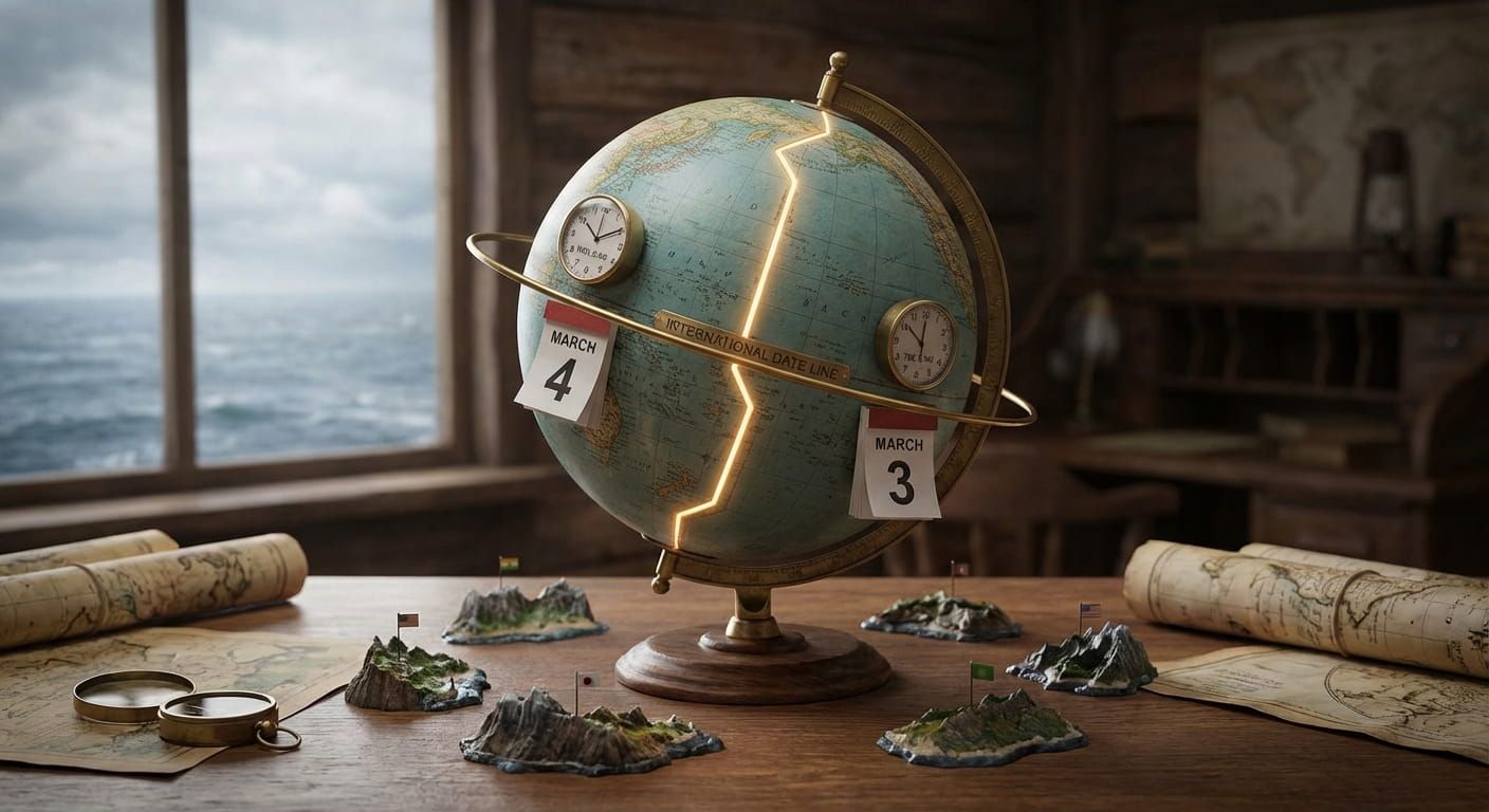
Borders And Time Are Linked More Than People Expect
Time zones started from science and navigation, but in practice they are political decisions. A government chooses what time its clocks follow, and it can change that choice. That is why borders can double as time boundaries, especially where neighboring states adopt different offsets or daylight saving rules.
Time.you is built for those moments. You might be coordinating a call across regions, tracking a flight, or scheduling a tournament. The minute a border changes the legal time setting, your plans can shift too. If you want a broader map of how regions are grouped before you even reach country pages, global regions and geographic classifications helps you browse places in a structured way.
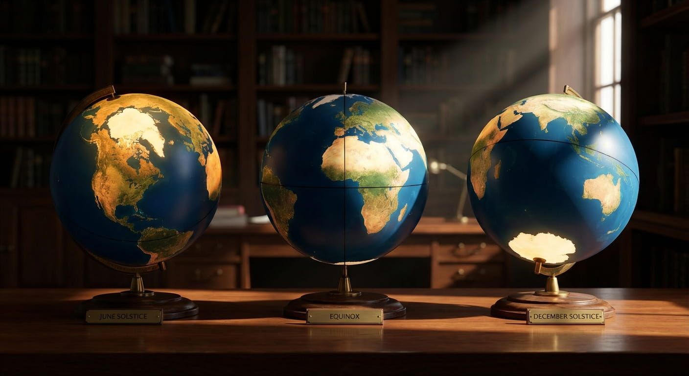
Political geography also explains why some countries keep one national time even when they stretch wide across longitudes. It can support national unity, reduce administrative confusion, or align business hours with key partners. It can also create odd results where sunrise and sunset feel late or early in parts of the country.
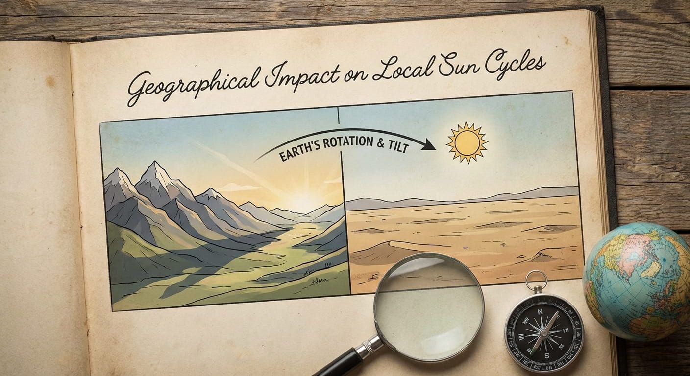
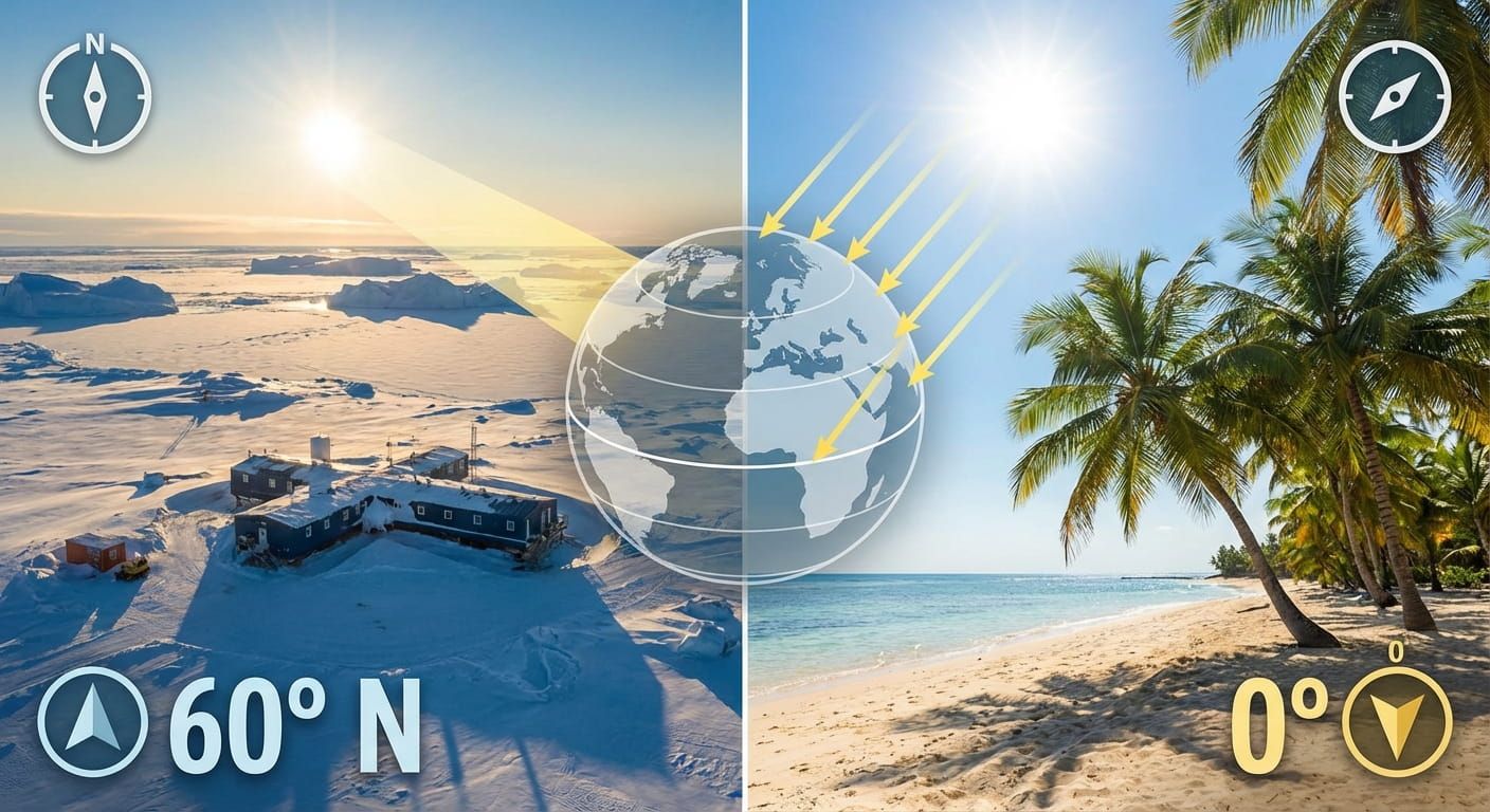
Local Sunlight And The Human Side Of Boundaries
The sun does not care about borders. People do. That mismatch matters. When a time policy pushes the clock away from local solar time, daily life can shift. School start times, commuting, and evening routines all adjust.
Some communities near borders live with two rhythms. Their social world might run on the neighbor’s time because they work, shop, or study across the line. That makes border time a real thing, not just a map detail. For a deeper look at how geography changes the feeling of time across a day, geographical impact on local sun cycles connects sunrise and sunset patterns to where you are on Earth.
Trade, Travel, And The Border As A Checkpoint
A border is a filter. Countries use it to manage what and who enters. That can mean customs checks, visa rules, quarantine measures, and security screening. The strictness can change over time, especially during crises, elections, or shifts in diplomatic relations.
For trade, borders can add cost and delay, but they can also provide structure. Tariffs, safety standards, and documentation protect domestic goals. Trade agreements can ease those frictions, and sometimes create border zones designed for manufacturing and logistics.
Disputed Borders And Overlapping Claims
Some borders are not agreed by everyone. A disputed boundary can be controlled by one side but claimed by another. Sometimes the dispute is about a small strip of land. Sometimes it involves large regions. In these places, maps can differ depending on who made them.
Political geography treats disputes carefully because the issue is not only land, it is recognition. Recognition affects treaties, travel documents, shipping routes, investment, and how international organizations interact with a place.
Map reading habit that saves confusion
When a border is disputed, treat the boundary as a political claim, not a physical fact. Check how time rules are applied on the ground, because that affects schedules more than the map label.
How Internal Borders Shape Daily Life
Not all borders are international. Provinces, states, and regions matter too. They decide school rules, health coverage, policing, building codes, and local taxes. Even if you never cross a national border, you probably cross internal ones all the time without noticing.
Internal borders can also shape time policy. Some countries allow regions to manage daylight saving choices or align with neighbor economies. That is a big reason why time data has to be specific, city level precision matters.
How Governments Choose Time, And Why It Changes
Time policy is a tool. It supports coordination, business, and identity. Sometimes it is changed to reduce confusion. Sometimes it is changed to align with trade partners. Sometimes it is changed to show independence.
That is why a time service cannot just follow the sun. It has to follow law and practice. If you are curious about how political boundaries and time policy intersect in a direct way, how nations set boundaries in time ties together borders, legal decisions, and what your clock ultimately shows.
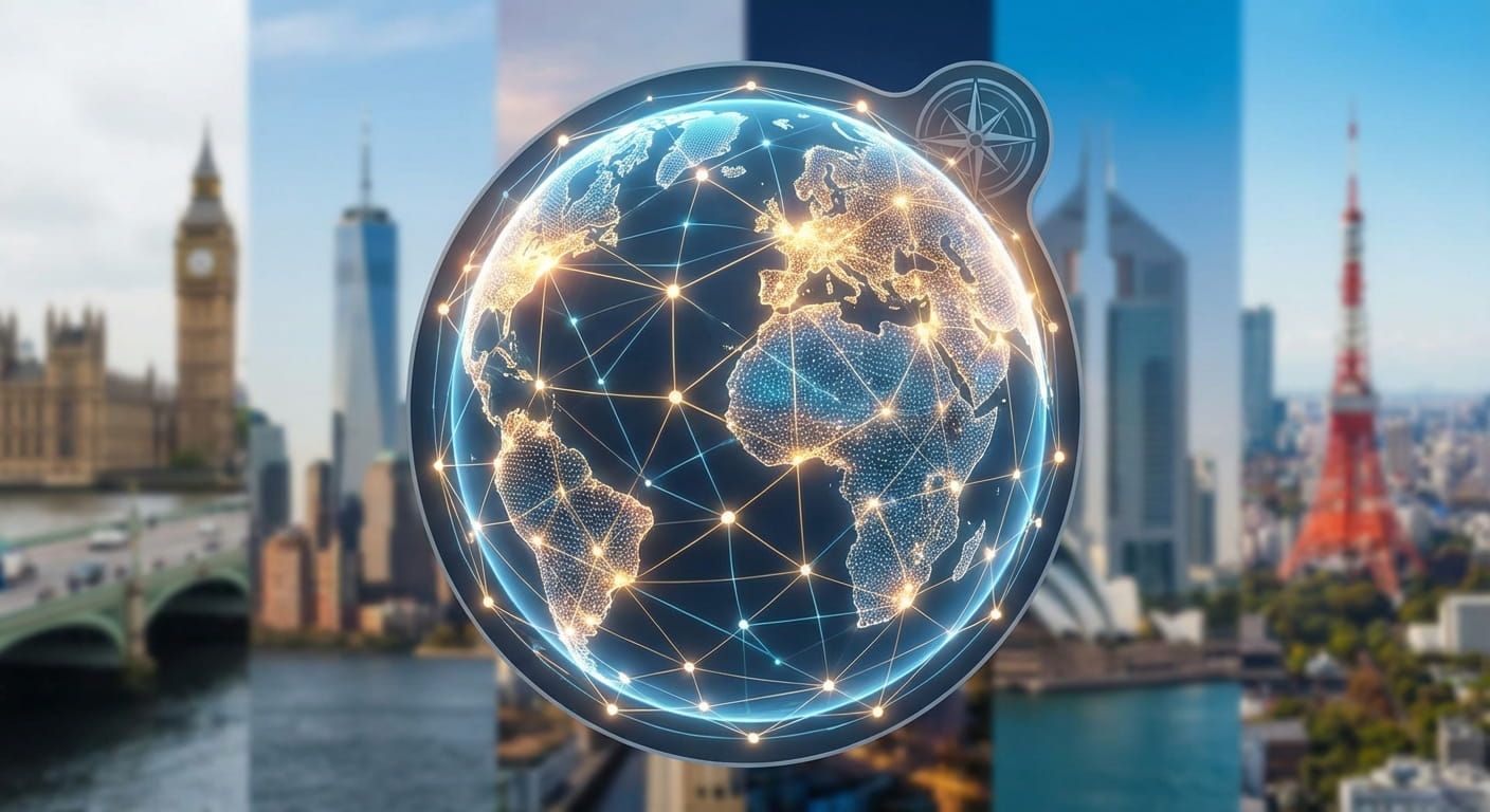
Strategic Cities, Border Influence, And The Pull Of Hubs
Major cities often act like magnets. They attract people, investment, and influence. In border regions, a big city can shape cross border movement, with commuters, supply chains, and shared culture flowing toward the hub.
These hubs also set the pace for scheduling. Business hours, flight networks, and market openings ripple out from them. If you want context on why some cities matter far beyond their size on a map, strategic importance of major global city hubs provides a useful frame.
Country Pages As Practical Border Guides
Reading about borders is one thing. Using border knowledge is another. Country pages help you ground the ideas in real places. You can jump from a concept to a location and see how time is handled there, then compare to neighbors.
For example, checking Singapore gives you a clean case of a compact country with a stable national time that supports tight coordination. Looking at United States shows the opposite scale, a large federal system with multiple time zones and regional differences that shape planning.
Border Effects
This table summarizes what often changes at a national border. It is not a checklist for every crossing, but it matches the patterns that most people run into.
Common Border Questions People Ask While Planning
People usually come to borders because they are trying to plan something. Here are the questions that show up again and again. Use them as a mental checklist.
- Will the local time change when I cross, and does the area use daylight saving?
- What documents do I need, and are there checks on this crossing?
- Do mobile networks and roaming rules change right at the line?
- Are there different public holidays or weekend days on the other side?
- How will customs affect what I can carry, or how long the trip takes?
Border Facts That Make Maps Feel Real
These points help turn political geography from theory into something you can notice in daily life.
- Borders can be calm in peacetime and strict during a crisis, even if the line never moves.
- A river boundary can shift if the river shifts, which can create legal puzzles for land and property.
- Time zones follow law, not only longitude, so policy can create sudden time jumps.
- Some border regions form shared economies, with workers crossing daily as if it is one metro area.
- A border can split ecosystems, forcing countries to coordinate on water, wildlife, and pollution.
- Maps can differ when disputes exist, so always check context before assuming a boundary is settled.
- Internal borders inside a country can matter as much as international ones for services and rules.
Quotes From The Borderline
“A border is a promise.” It promises order, rules, and identity. It also promises paperwork and waiting, depending on where you cross and when.
“Time is part of sovereignty.” The clock a country chooses is a public decision, and it can be used to simplify life or to signal alignment.
How To Use This Topic While Browsing Places
The fastest way to make political geography useful is to connect it to the specific place you are viewing. Borders are context, and context changes what time data means for planning.
Here is a simple habit that works well on location pages, especially when you are coordinating across places.
• Check the country or city time, then check whether any nearby border might place your partner, customer, or teammate under a different time rule.
• Confirm whether daylight saving is active in either place during your date range.
• If you are scheduling travel, assume border processing time is variable, then add buffer time that fits the crossing style.
From Lines To Lived Experience
Political geography makes borders feel less mysterious. It shows that boundaries are not only about where one country ends and another begins. They are about how people organize rules, identity, and movement across space.
Time adds another layer. A border can change your legal time, your workweek rhythm, and the timing of public services. That is why a global time reference is not just a convenience, it is a tool for real life coordination. When you look at a map and see a border, you can now also see what might change on the other side, including the clock on your screen.